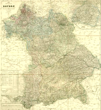
At that time, Rheinbayern was a geographically isolated province of the Kingdom of Bavaria, and on the map appears in the upper right corner. (It is actually located to the west of the main portion of Bavaria.)
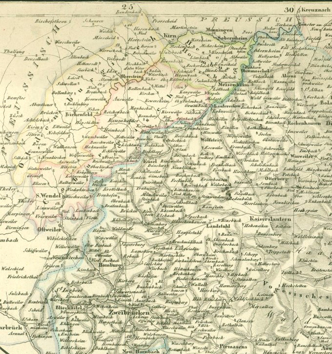
A detail of the portion of the map in the upper right is below. The places from which the Leonhard family ancestors emigrated, Jettenbach and Reichenbach, are near the center of that map.

